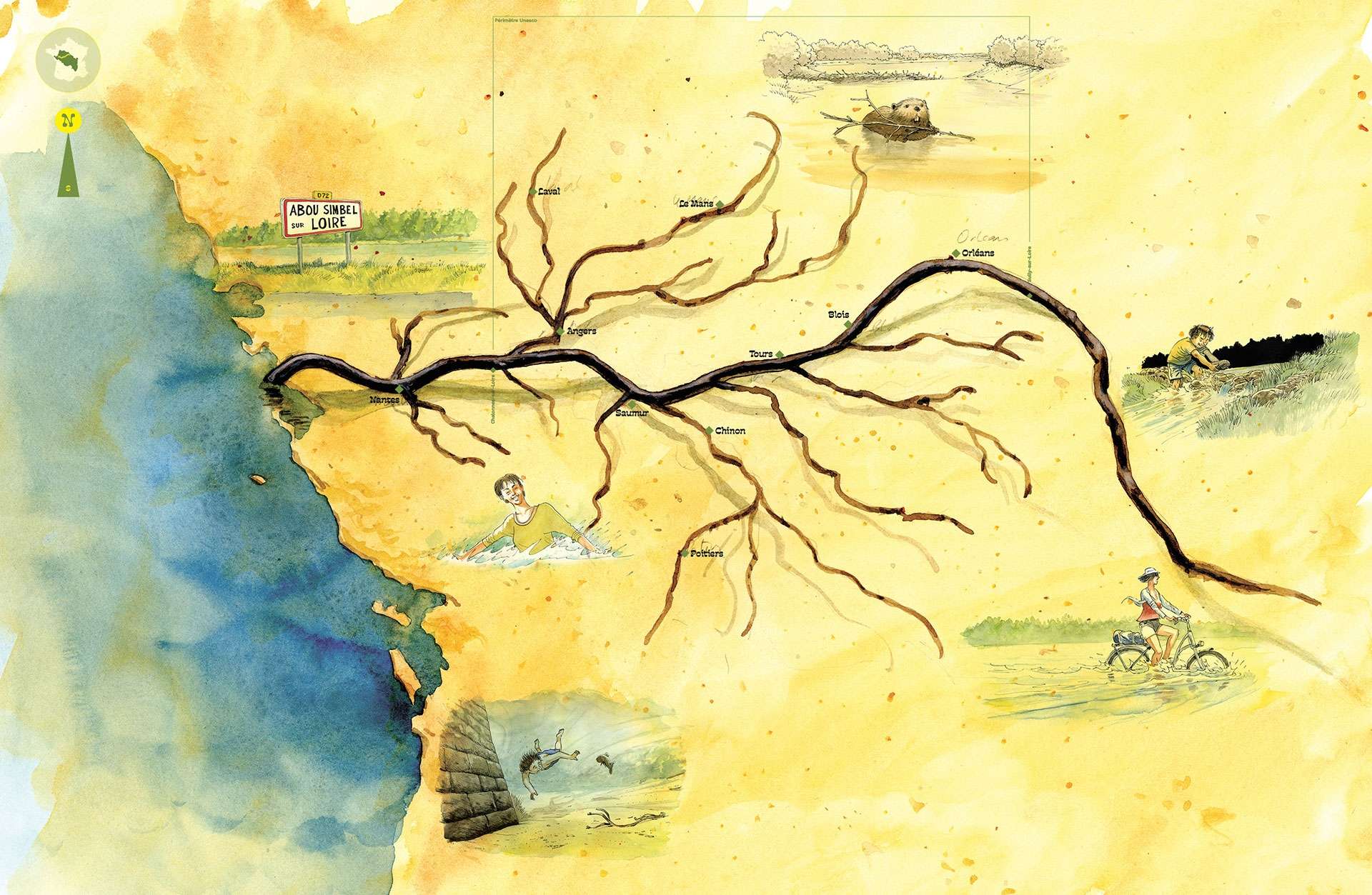
To understand the Loire Valley landscapes, we need a bit of geology. From its sources to its estuary, the Loire carries sediment from the Massif Central, the banks of the Orléans region and the Armorican Massif. The river deposited these as the terrain and currents changed.
Themed maps
Cartographic resources focusing on a theme related to the Loire Valley landscapes and heritage.
Of all the distinguishing features of the overall landscape, particular note is made of the presence of levees designed, firstly, to protect crops against the spreading of sand and gravel during river floods, secondly, to secure a navigable channel and, lastly, to bear a new road. This series of levees of varying ages and forms is the most significant system for protecting against river floods in Europe, and the largest mediaeval development: extending over 28 miles (45 km) from Saint-Patrice to Saint-Martin-de-la-Place, their earliest foundations date back to the 12th century.
Most of the “Loire castles” began as a fortress converted in the 15th and 16th centuries, especially into stately country residences. The oldest abbeys in the Loire Valley or in Angers are Benedictine. At one time they were thriving economic centres of agricultural activity and wellsprings for rural development.